
Mineral Exploration
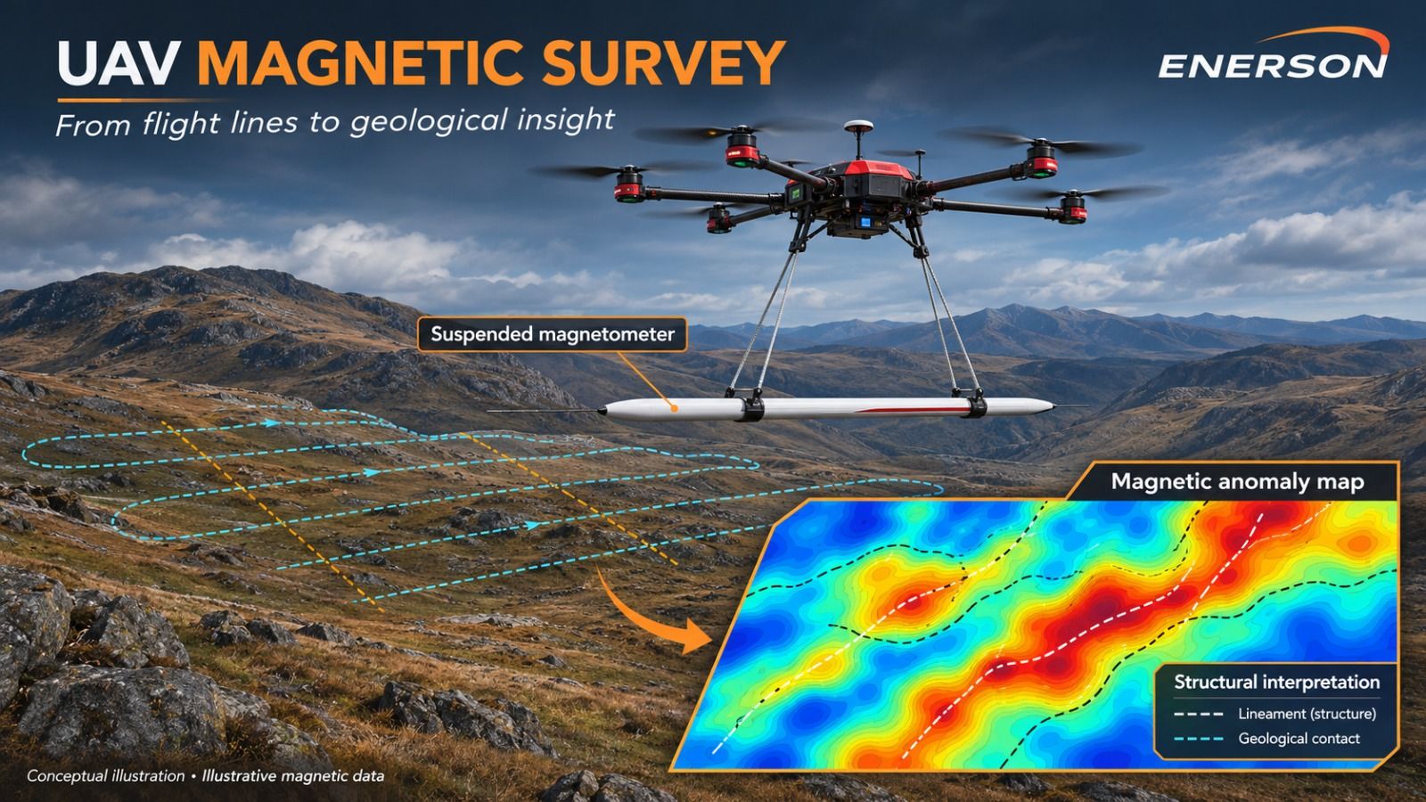
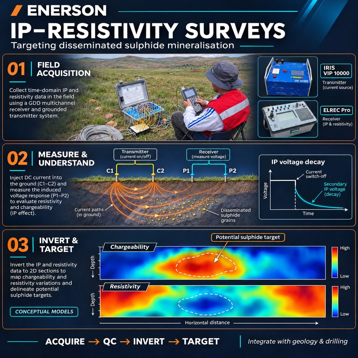
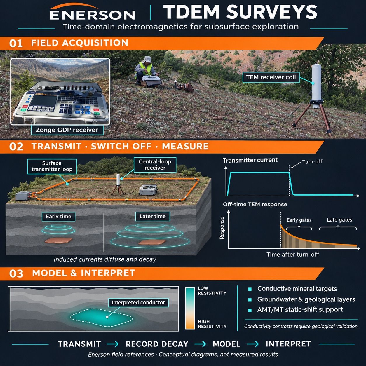
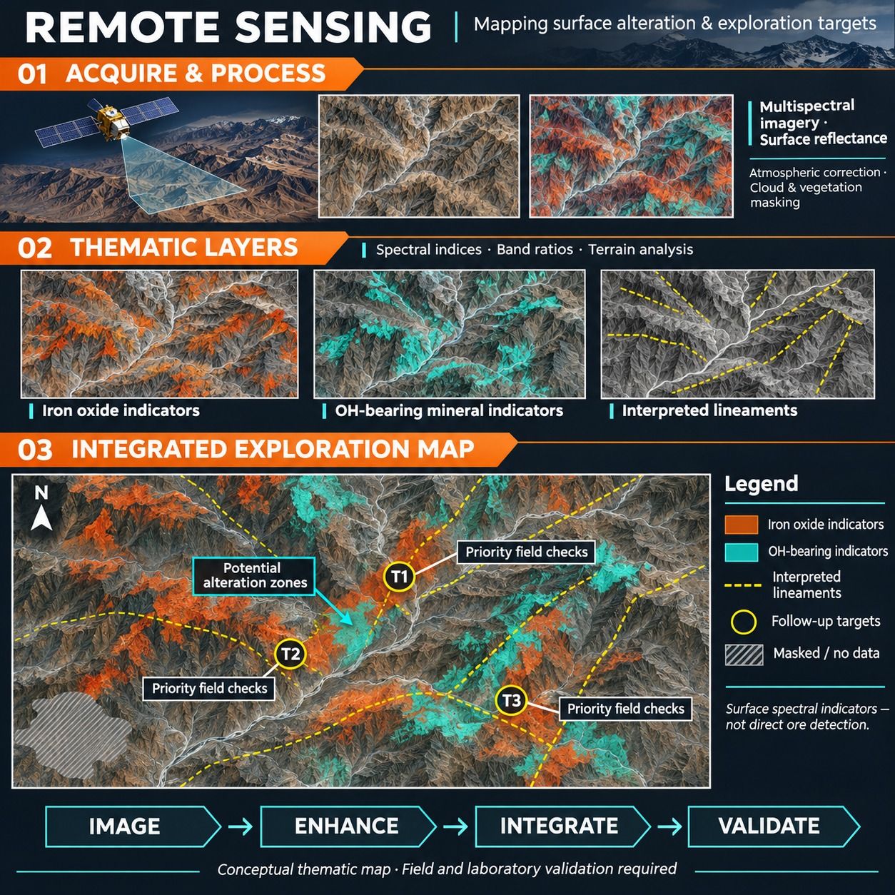
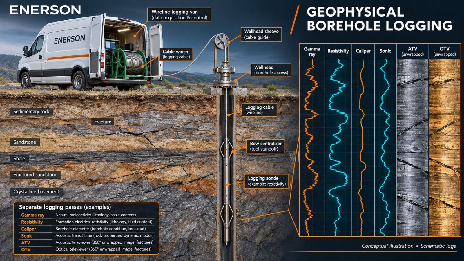
Geophysical and remote-sensing methods are now essential for finding and evaluating copper, gold and silver, base metal, coal, uranium and strategic mineral deposits. Airborne methods map large areas quickly and make an exploration programme more efficient; ground and borehole methods then resolve the subsurface geology and structure in far more detail. Our team has decades of combined experience in acquiring and interpreting these data.
Exploration Targets
- Porphyry and skarn copper
- Epithermal and orogenic gold and silver
- Massive sulphides and base metals
- Chromite, iron and other magnetic ores
- Coal, uranium and strategic minerals
- Marble and industrial minerals
Methods
-
-
-
-

-
-
-
-
-
Project Workflow
- 1
Survey
UAV magnetics, remote sensing and ground geophysics over the licence.
- 2
Interpret
Inversion and integration with mapping and geochemistry; ranked targets.
- 3
Drill
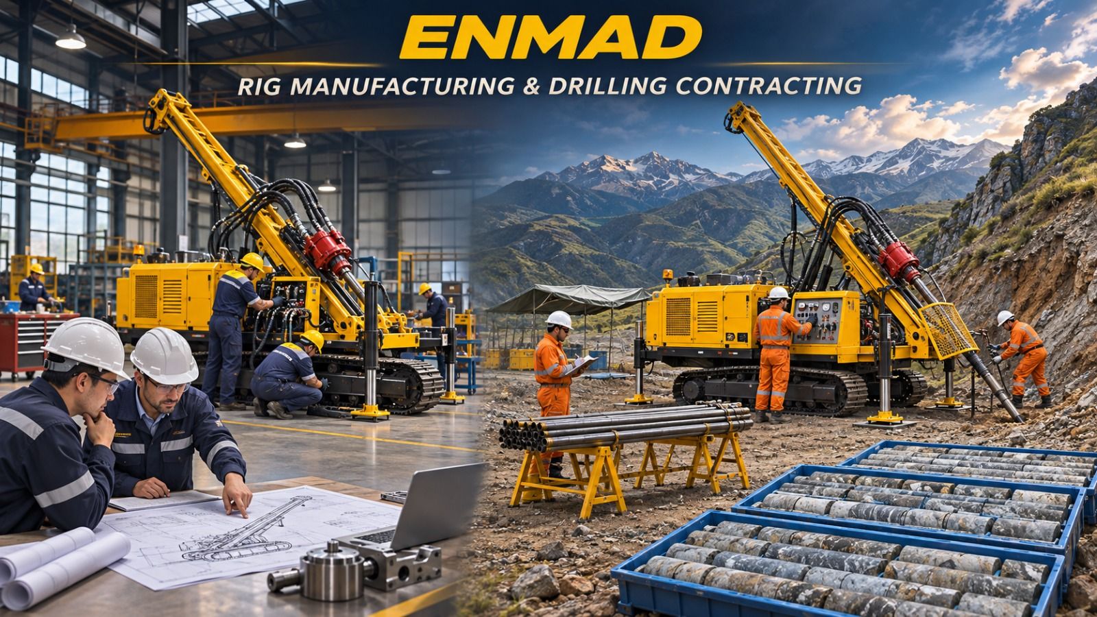
Diamond core drilling on priority targets with planned collars and dips.
- 4
Verify
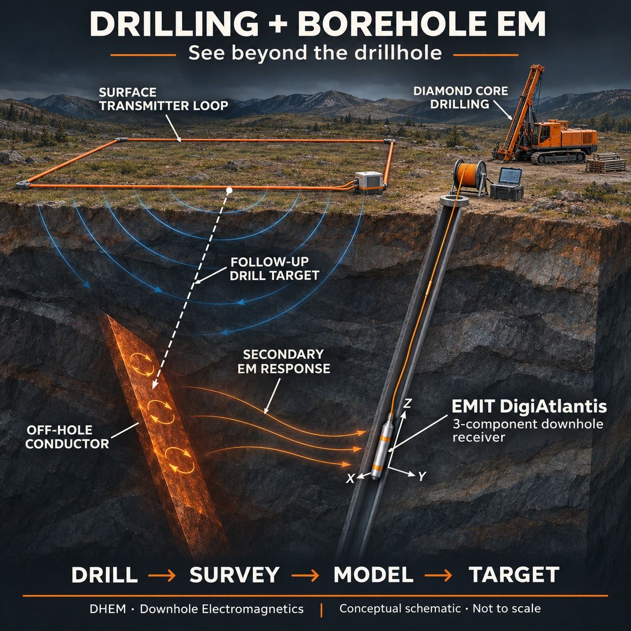
Televiewer, gyro and downhole EM in the hole; core logging and sampling.
Request for Proposal
Upon receipt of information on the project objective, survey area and schedule, we will submit a proposal setting out the appropriate method, work programme and deliverables.