
Oil & Gas and Geothermal Exploration
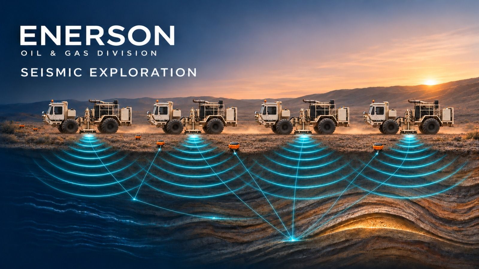
We provide shallow and deep geophysical surveys for the energy market: oil and gas, coal-bed methane, gas storage, geothermal reservoirs and water wells for energy projects. Our land seismic crews design, acquire, process and interpret 2D and 3D surveys in deserts, transition zones, hills and farmland with our own vibrators and nodal and cable recording systems. We have particular experience in planning, logistics and field operations in environmentally sensitive and difficult terrain.
Exploration Targets
- Oil and gas structures and stratigraphy
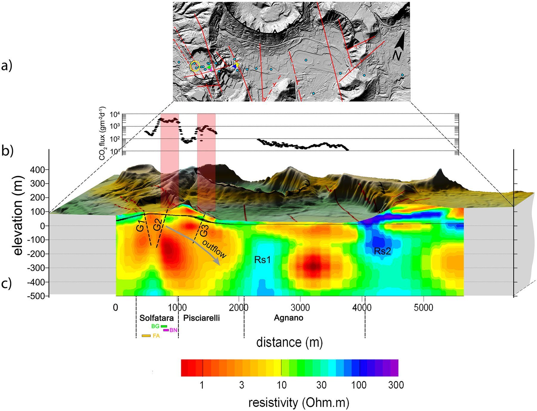
- Geothermal reservoirs and fault-controlled fluid pathways
- Coal seams and coal-bed methane
- Salt structures and gas storage sites
- Karst and fracture zones
- Abandoned wells and pipelines
Methods
-
-
-
Project Workflow
- 1
Design
Acquisition parameters set and modelled before mobilisation.
- 2
Permit
Approvals, stakeholder information and landowner consent.
- 3
Acquire
Vibroseis or shot-hole sources; nodal or cable recording.
- 4
Process
Field QC, processing and interpretation into sections and volumes.
Request for Proposal
Upon receipt of information on the project objective, survey area and schedule, we will submit a proposal setting out the appropriate method, work programme and deliverables.